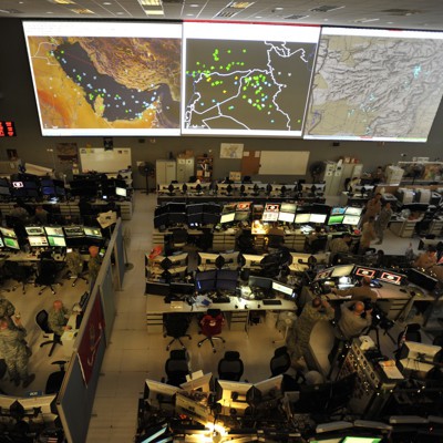
A new AI tool from GDIT that quickly fuses data from multiple air defense sensors could transform how militaries defend against emerging aerial threats such as hypersonic missiles and drone swarms.
The proliferation of drones and highly maneuverable missiles has made conventional air defense targeting difficult and increased the complexity of aerial threats. But technological advances have also given rise to a wider range of data – from radars, satellites or drones – to inform and help defenders better spot incoming threats. The challenge is to collect all of this data, even in places where adversaries will try to jam communications, analyze and integrate it quickly, and then send it back to give operators on the ground enough time to act. GDIT tested its Defense Operations Grid-Mesh Accelerator, or DOGMA, tool against this problem at TREX military event in August.
DOGMA ingests available data about what is coming from the sensor network and examines all available communication paths to choose the best path to transfer data along the difficult “first mile” near the front lines.
Brandon Bean, Director of AI/Machine Learning at GDIT (Defense Division), said Defense One“This could be anything from portable radios to satellite connectivity (in low Earth orbit or geosynchronous orbit).” The tool can quickly send data to a Combined Air Operations Center and then back again, applying AI to the different air threats detected by the sensors.
Beyond the first mile, DOGMA can route traffic to the cloud using commercial routes.
“If you are at INDOPACOM, the first available availability zone (Amazon Web Services cloud) would be Tokyo, Singapore, Sydney. Once you reach this availability zone, they then route you on a dedicated path using the undersea fiber cables they have. So you’re not mixed up with other commercial Internet traffic,” Bean said.
To test how it works, the company set up a geofence around an aircraft hangar at Camp Atterbury in Indiana during the August exercise. “The objective here was to replicate an incursion (into Taiwan’s air defense identification zone). So this geofence was about 1,500 feet high and about 500 feet wide,” Bean explained. “Ultimately, they found that they could provide a highly probable estimate of where even a highly maneuverable threat is heading with a delay of about 30 seconds to the operator.”
Getting that information through that “first mile,” where the adversary attempts to block all lines of communication, is one of the key innovations, Bean said.
“We had no (electronic warfare) threat in the simulated environment. But what we did was…periodically, without notice, started cutting off all of our lines of communication. This resulted in a communication interruption of just 33 milliseconds, with the system finding the second-best communication path, virtually invisible to the operator.
New missile technology, especially highly maneuverable supersonic and hypersonic missilesare extremely difficult to defend. But Bean said the system could be applied to help operators defend against even these missiles. However, he said, there is a big challenge, which is “the amount of training data we had.” We filed a request with the FAA National Office to obtain approximately three months of data from their major FAA Regional Centers. And this request is still pending.


